In The Lakes Explore the lakes →

From Instagram · The Lonely Sensor

Read the lakes

A buoy floats alone out there, measuring the water every minute. These are nine things it might tell you, and where on In The Lakes you can see each one for yourself, in today's real conditions.

A dim blue underwater view from the Dive experience, with a depth gauge on the side.

01 · Superior

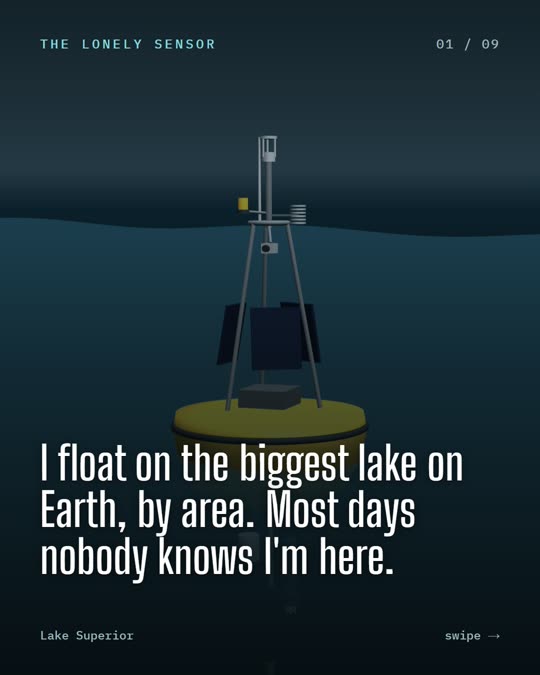
“I float on the biggest lake on Earth, by area. Most days nobody knows I'm here.”

+3 Eries Lake Superior could hold every other Great Lake, plus three more Lake Eries.

Its deepest point is 406 m (1,332 ft) down. It's the largest freshwater lake in the world by surface area.

Sink below a buoy that's reporting right now, all the way to the bottom.
Sources: Great Lakes Commission, About the Lakes: Lake Superior
The bow of a small boat at the helm on open water, from In The Lakes.

02 · All five

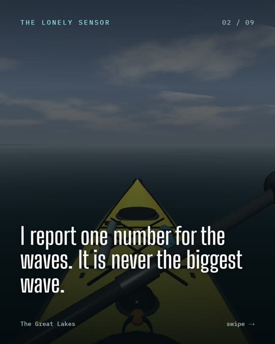
“I report one number for the waves. It is never the biggest wave.”

×2 A wave forecast gives the significant height: the average of the highest third of the waves.

So single waves can be nearly twice as high. A 1 m forecast can still bring a 2 m wave.

Stand at a buoy that's reporting now, in its real waves, wind and light.
Sources: NOAA National Weather Service, Mariners Weather Log: significant wave height

Rough grey water from the helm during a replayed storm on Lake Superior.

03 · Superior

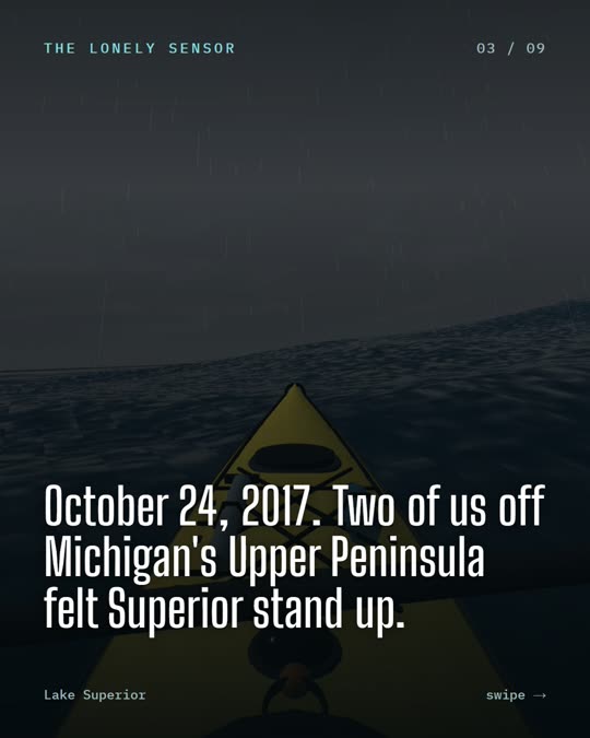
“October 24, 2017. Two of us off Michigan's Upper Peninsula felt Superior stand up.”

8.8 m Significant waves of 8.8 m (28.8 ft), measured by the Granite Island and Munising buoys on Lake Superior.

A Great Lakes record at the time. And significant height is an average: single waves were likely higher.

Granite Island's storm of record, wave for wave, at the helm.
Sources: Northern Michigan University buoys, via GLOS; Michigan Public and Great Lakes Today, Oct 2017

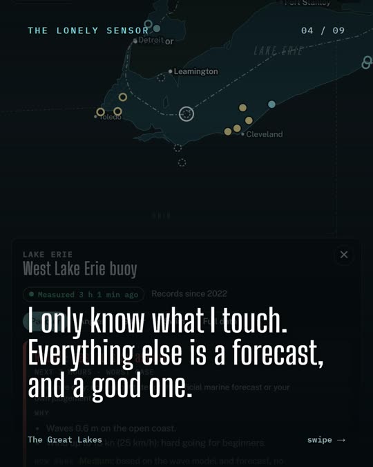
A buoy's card on In The Lakes with a Caution verdict, its reasons, and readings labelled measured with their age.

04 · All five

“I only know what I touch. Everything else is a forecast, and a good one.”

Measured or modelled Every number on In The Lakes says which it is: measured by a buoy or station, or modelled by a forecast.

And how old it is, and where it came from. A reading from two hours ago, 30 km away, isn't the water in front of you.

Open any buoy on the map and read its card: every number labelled.
Sources: In The Lakes: how the verdicts work (inthelakes.ca/about/data/)

A page from the In The Lakes lesson on the seasons of the Great Lakes.

05 · All five

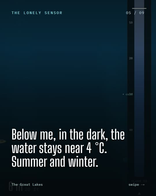
“Below me, in the dark, the water stays near 4 °C. Summer and winter.”

4 °C Fresh water is heaviest at about 4 °C, so it sinks and settles at the bottom of a deep lake.

In spring and fall the whole lake passes through that temperature and mixes top to bottom. That's turnover: oxygen goes down, nutrients come up.

Why water is heaviest at 4 °C, turnover, and Erie's late-summer dead zone.
Sources: In The Lakes lesson: The seasons of the lakes

A page from the In The Lakes lesson on rivers and watersheds.

06 · All five

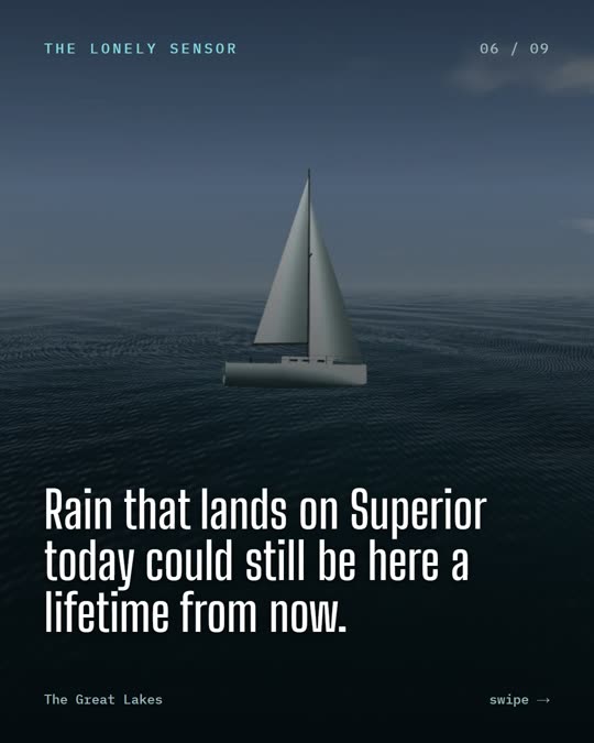
“Rain that lands on Superior today could still be here a lifetime from now.”

191 years On average, that's how long water stays in Lake Superior before it moves on.

Michigan 99 years. Huron 22. Ontario 6. Erie 2.6. What goes into a slow lake stays a long time.

Where the lakes' water comes from, where it goes, and how long it stays.
Sources: US EPA, Great Lakes facts and figures (residence times)

The Wetlands layer on In The Lakes: Long Point's marshes and swamps coloured by type.

07 · Ontario side

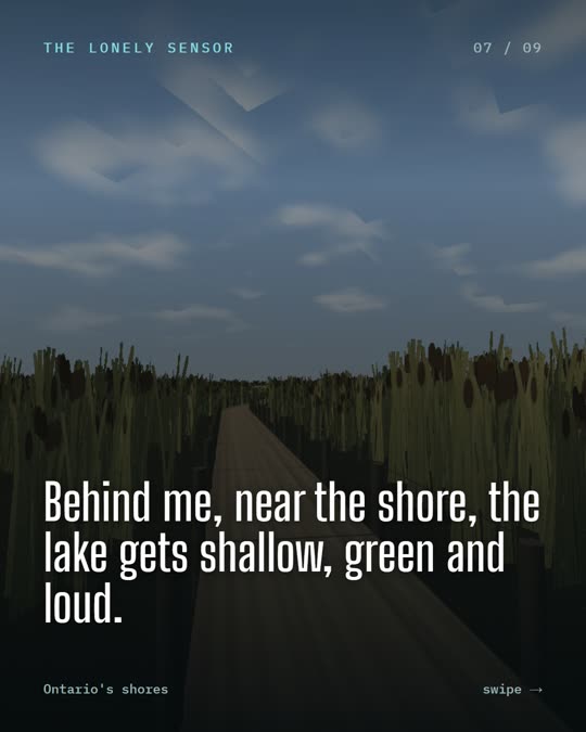
“Behind me, near the shore, the lake gets shallow, green and loud.”

42,738 Coastal wetlands mapped on the Ontario side of the Great Lakes: marsh, swamp, fen and bog.

More than 80 kinds of Great Lakes fish rely on coastal wetlands at some point in their lives.

Every coastal wetland on the Ontario side, by type. Tap one. · Walk the Long Point marsh boardwalk with a scientist (Learn).
Sources: Ontario Ministry of Natural Resources, Wetlands (Land Information Ontario); US EPA: why monitoring Great Lakes coastal wetlands is important

The Nature layer on In The Lakes: Long Point's shore coloured by habitat, with a Who lives here card.

08 · Erie

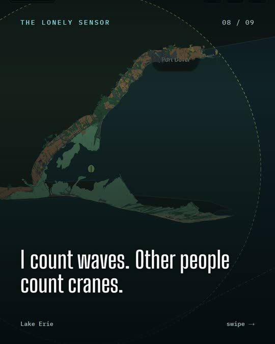
“I count waves. Other people count cranes.”

324 Bird species people have recorded on iNaturalist within 30 km of Long Point, Lake Erie: a UNESCO biosphere reserve.

Twelve places around the lakes, each with its shore coloured by habitat and its most-observed birds, fish, plants and more.

Twelve places, their shore by habitat and who lives there.
Sources: iNaturalist research-grade observations; Ontario's Great Lakes Shoreline Ecosystem inventory

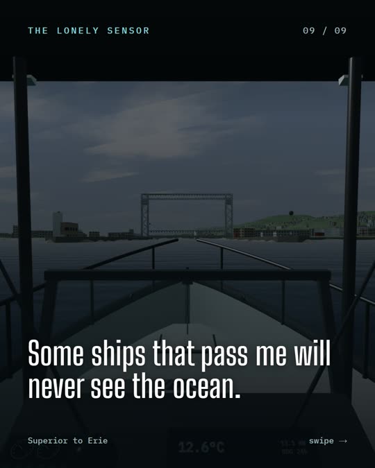
A harbour in 3D from the helm on In The Lakes, approaching Duluth.

09 · Superior to Erie

“Some ships that pass me will never see the ocean.”

1,000 ft Thousand-foot lakers are too long for the Welland Canal, whose locks take ships up to 740 ft (225.5 m).

So they spend their whole working lives on the upper four lakes: Superior, Michigan, Huron and Erie.

Duluth in 3D, plus Thunder Bay, Hamilton and more.
Sources: St. Lawrence Seaway: locks and vessel limits