Media
The Great Lakes in 60 seconds
The lakes are measured around the clock by buoys, satellites and forecast models, scattered across dozens of agencies. In The Lakes brings it together into one plain answer with today's warnings, then lets you step in: take the helm, ride out a storm of record, sail into a great port in 3D, float or dive to the lake floor, meet who lives on the shore, tap into every coastal wetland on the Ontario side, and learn whose lands and waters these are.
For classrooms
For teachers, in 60 seconds
What a class can do with In The Lakes: adopt a buoy and download its readings, 40 free lessons at three levels with teacher notes and a curriculum map for Ontario, Michigan and Wisconsin, charts built from real data, and the experiences that get a class talking: a marsh walk with a scientist, Fort William in 1815 and the helm, plus the Nature and Wetlands layers.
For kids, in 30 seconds
A quick trailer for ages 8 to 13: real storm waves, tubing down a real river, a 40-metre waterfall, a walk through a real marsh, a fur-trade fort, the bottom of the lake, who lives on the shore, and lessons made for kids. Good for opening a unit.
More
The 30-second cut
The same story, shorter: the data brought together into one plain answer, then the helm, a port in 3D, Dive and Float, the shore's nature and the coastal wetlands.
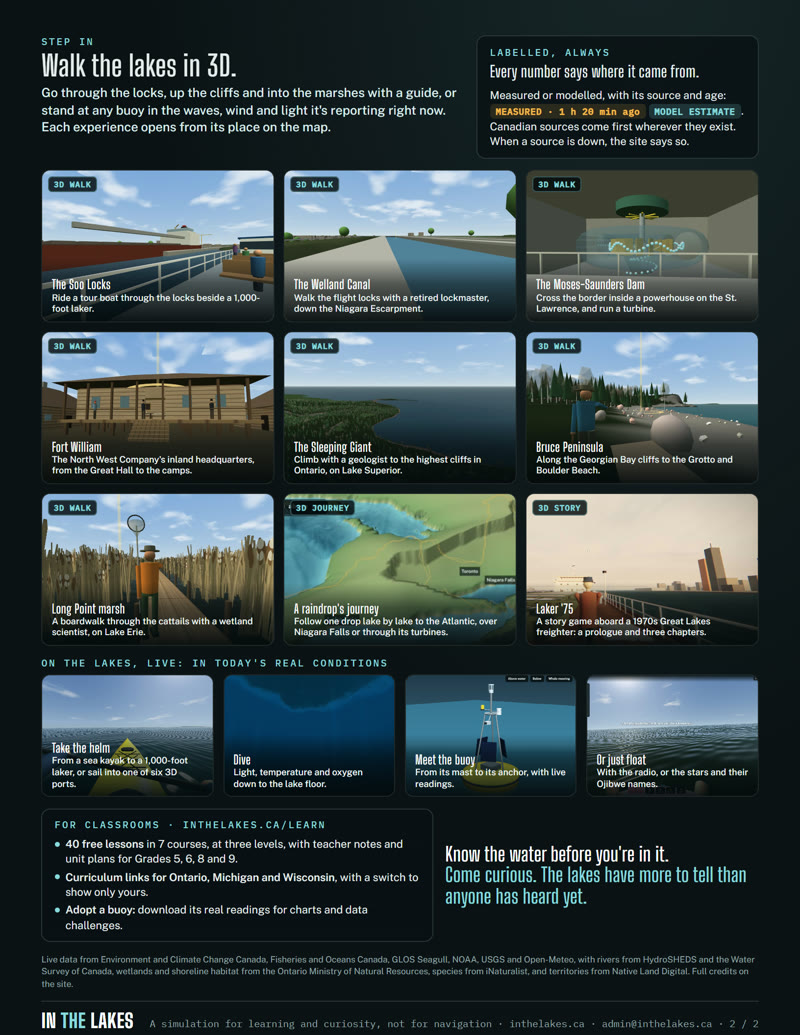
Two-page overview
What In The Lakes is in two pages: the data behind it, the one plain answer for the day on the water, stills from the 3D walks and experiences, and the free lessons for Ontario, Michigan and Wisconsin classrooms.